On the western edge of Europe the map suddenly looks different.
Ireland’s position puts distance between your family and many of the Continent’s flashpoints. But it has its price, too. This is about both: the security value of an island and the drawbacks that come with it in daily life.
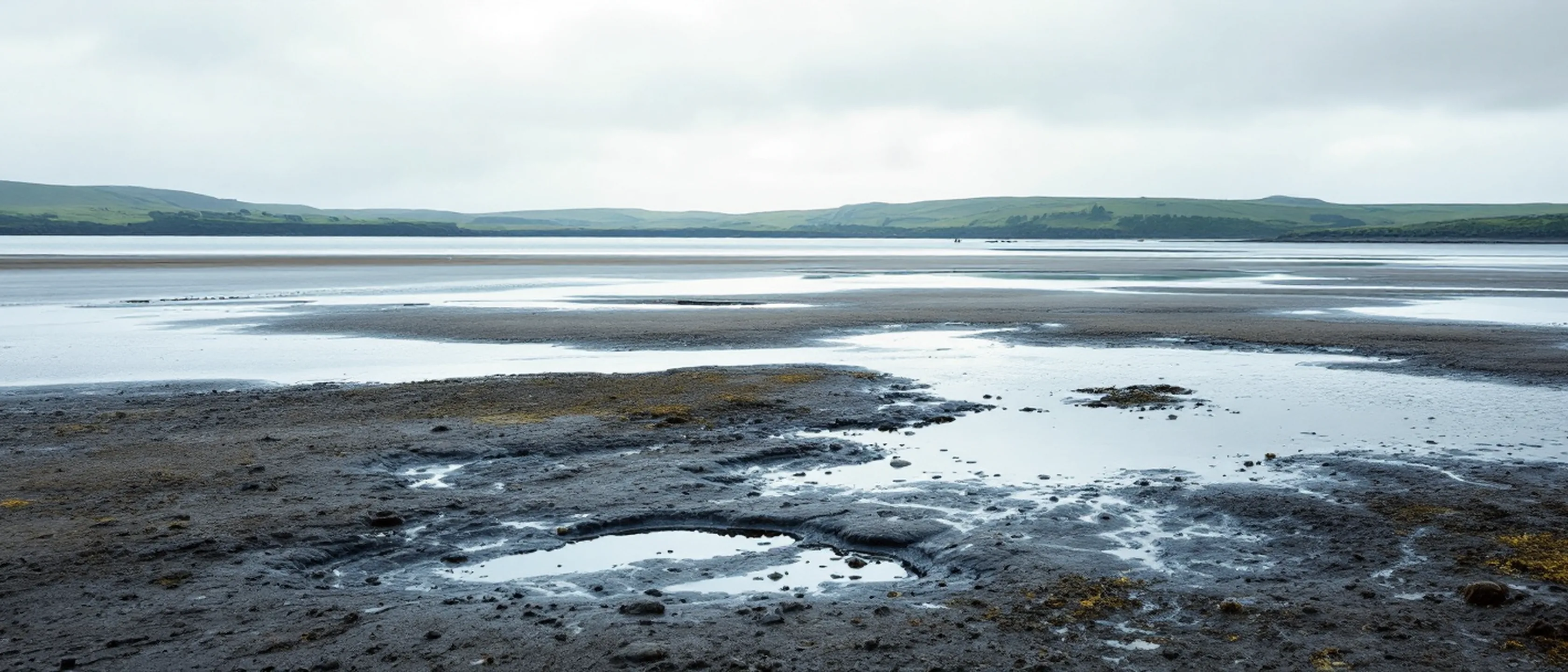
Of all the arguments in this pillar, geography is the oldest and the one no government can change. Laws are amended, politics turns; where an island lies, it lies. This page does the sum of the location in both directions: what it costs you in daily life, and what it gives your family in the scenario this section has been written for since 2026.
A look at the map
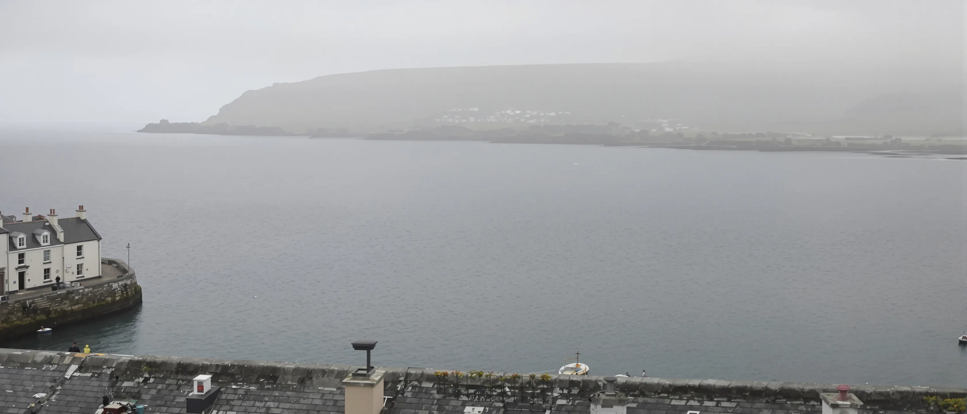
Ireland lies on the western edge of Europe, and beyond it there is only the Atlantic. Look at the map from the Low Countries or Scandinavia and you see the difference at once: the Continent’s great land borders are far away, Ukraine is far away, the Baltic states are far away. Between your family and any conceivable land front lie another country and a sea, and for a family from Britain, a second sea as well.
Add what is not on this island: we see no military installations here that would be of strategic interest to an adversary, and no alliance status makes the country a priority target. That is an assessment, not a guarantee, and it is framed in exactly those terms on the overview, too. But it describes a starting position that has become rare in Europe.
What the location costs
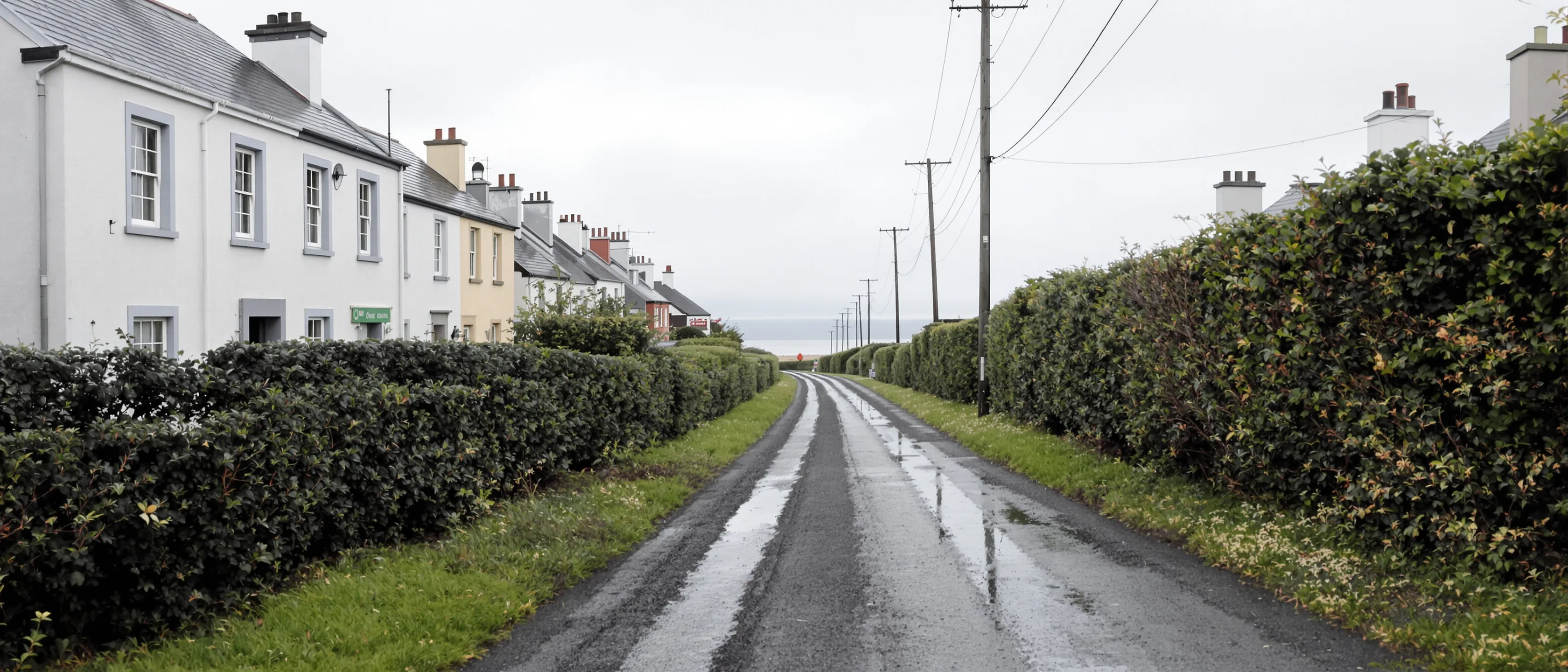
A place on the edge is no free advantage, and anyone who sells it to you without a price tag leaves out half the story. The price is distance, and you pay it on every family visit: the grandparents no longer live two hours’ drive away, but a sea crossing or a flight away. From nearby Cork Airport, Britain is easy: London and Manchester are served daily, and Amsterdam has a daily flight. Beyond that it thins out: Brussels Charleroi two or three times a week, and no direct flight to Copenhagen, Stockholm, Oslo or Helsinki. Anyone flying there regularly often flies via Dublin, and from the South East Dublin is an hour and a half to two and a half hours away.
These costs are real, they also appear on this site’s transport page, and they are the reason the edge location never stands alone in our argument. It is one item in an overall sum, and on the other side of that sum stand the things you pay the price for.
What the location gives
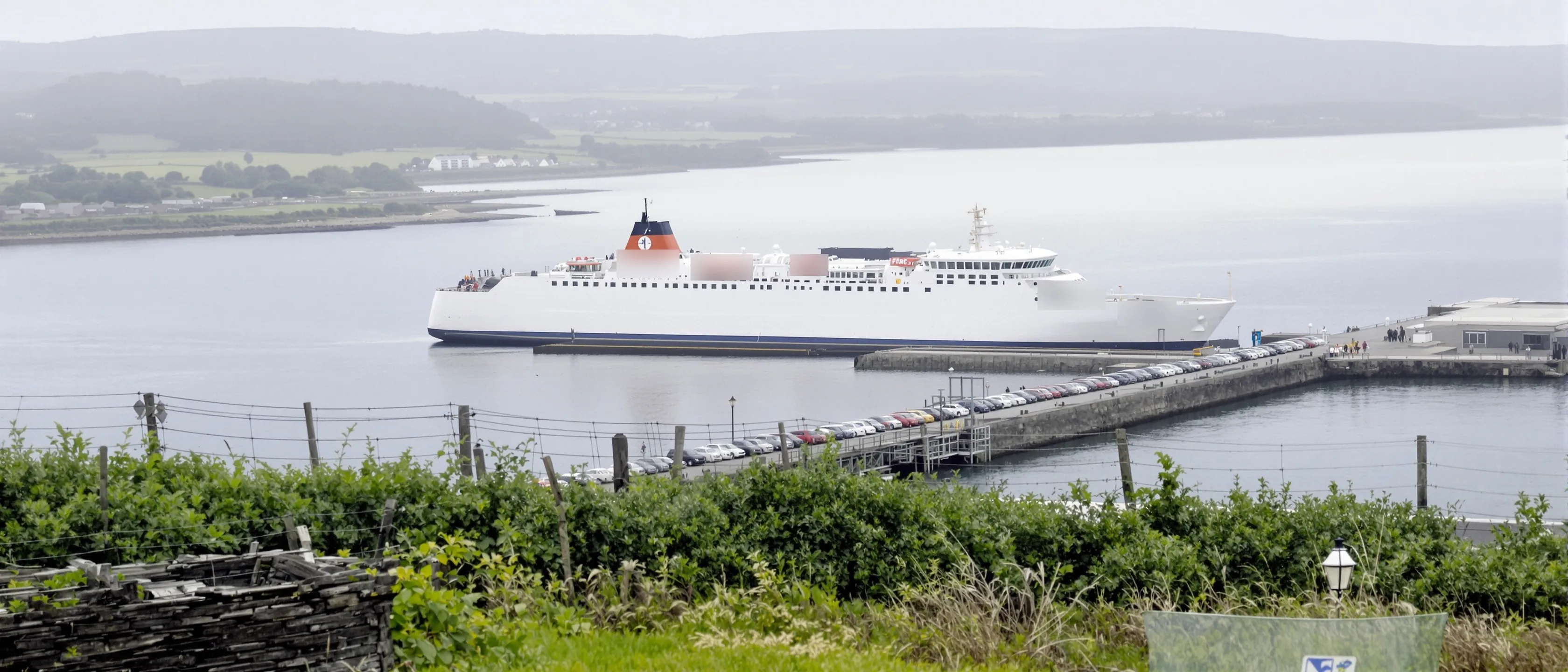
And now the other side of the sum, and it has a place: Rosslare Europort, the eastern gateway of exactly the region this site is about. An island is only a refuge if you can reach it and leave it, and the South East is the part of Ireland where both work without a plane:
| Destination | Operator | Frequency |
|---|---|---|
| Dunkirk (France) | DFDS | see the DFDS timetable |
| Cherbourg (France) | Brittany Ferries | five sailings a week |
| Fishguard (Wales) | Stena Line | several times a day |
| Pembroke Dock (Wales) | Irish Ferries | several times a day |
| Bilbao (Spain) | Brittany Ferries | two round trips a week |
The Dunkirk route takes cars, caravans and motorhomes, no foot passengers.
Source: Each operator checked separately (Stena Line route list, DFDS, Brittany Ferries, Irish Ferries); destinations and crossing times Rosslare Europort. As of: retrieved 22 August 2026, Dunkirk checked again 17 September 2026.
The first row is the strongest access argument of the whole site: Dunkirk lies on the Belgian border, and a family from the Low Countries, or one driving down from Scandinavia, gets from its own car into its own car with a single crossing. From Britain, the Welsh ports of Fishguard and Pembroke Dock are crossed several times a day. So the island position gives you both at once: in daily life a link to the Continent and to Britain that depends on no flight, and in a crisis a sea between your family and the mainland. Why exactly this combination defines the region is on the page about the South East.
More in Safe harbour
The first step is a conversation
One hour in which your situation is sorted and you know what to do.